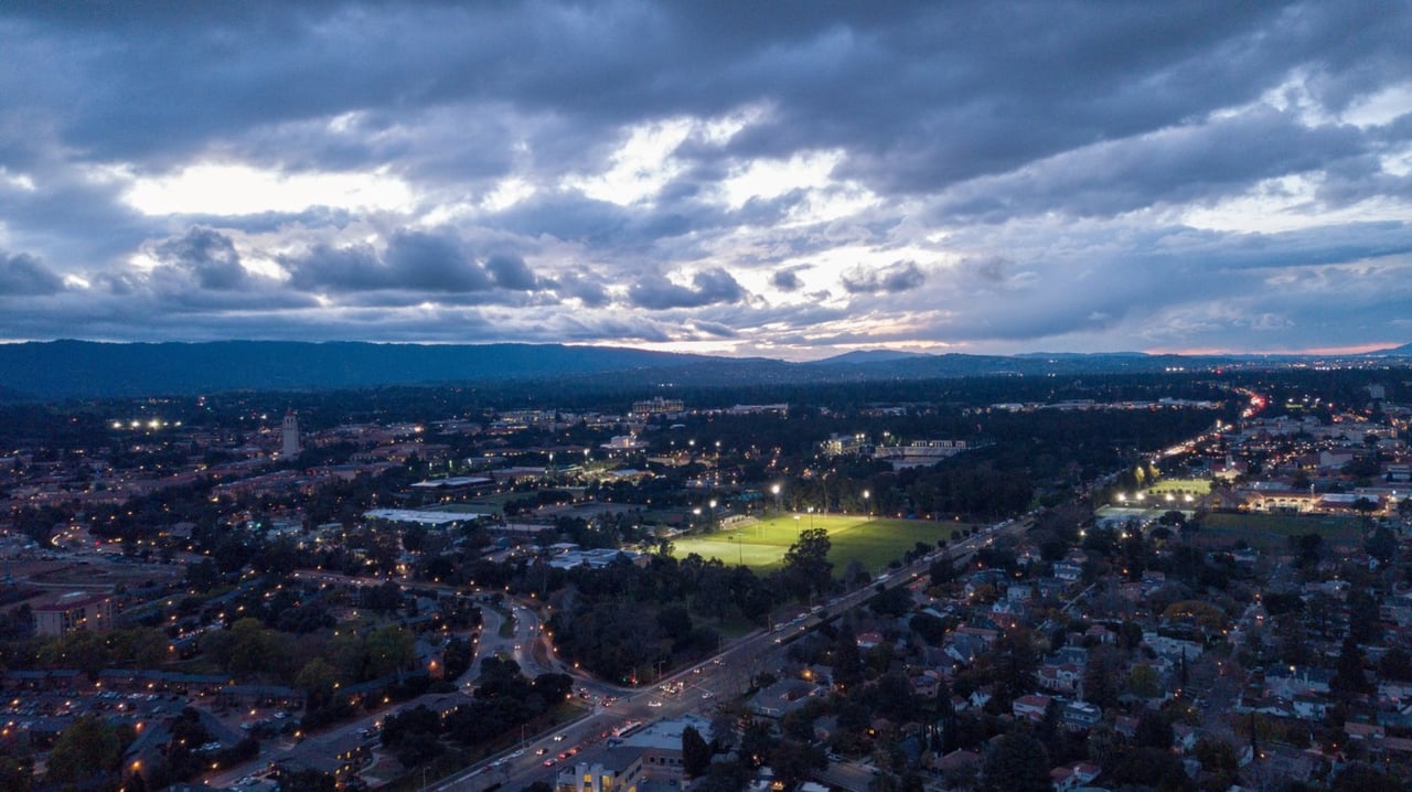
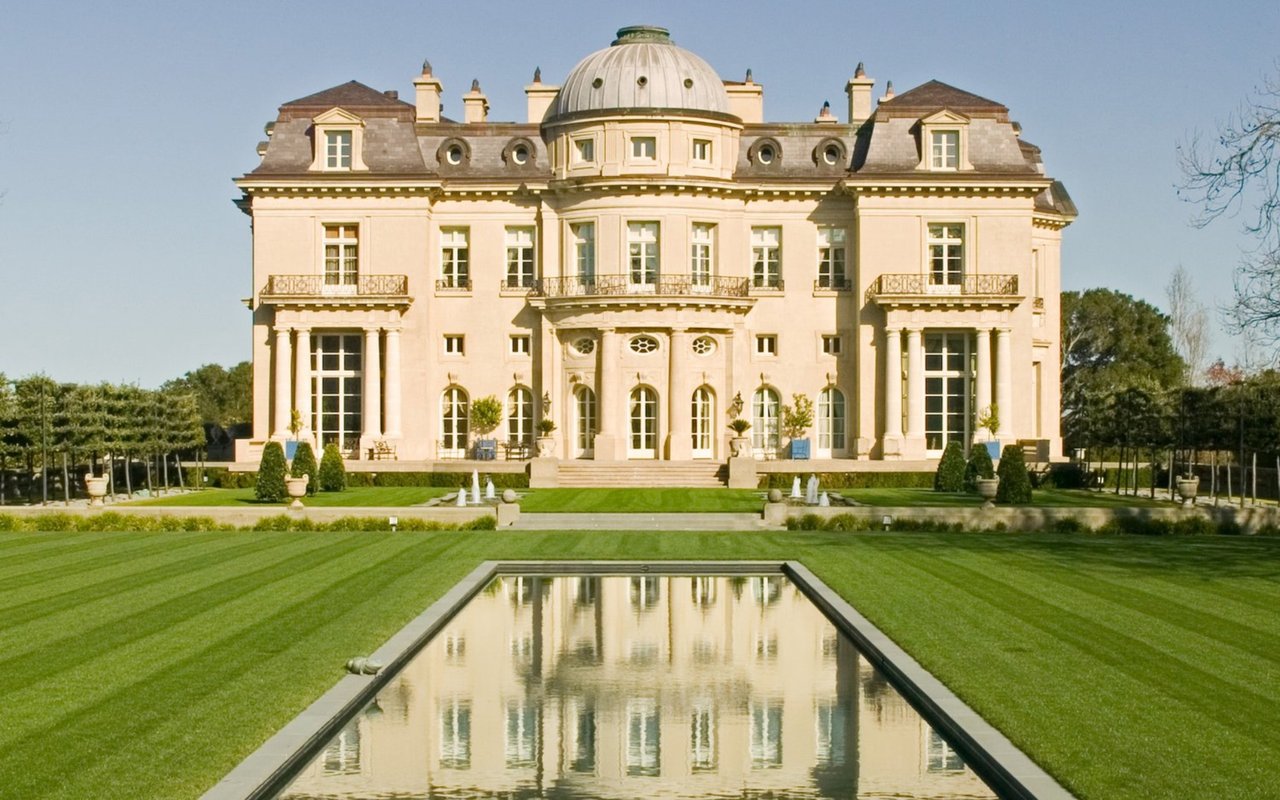
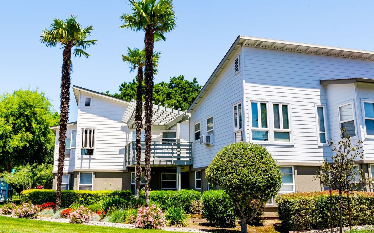
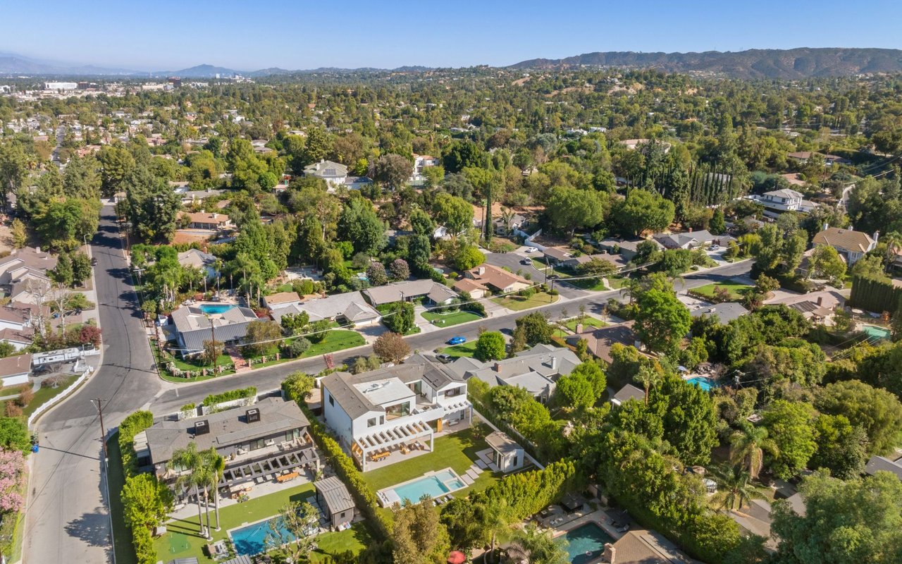
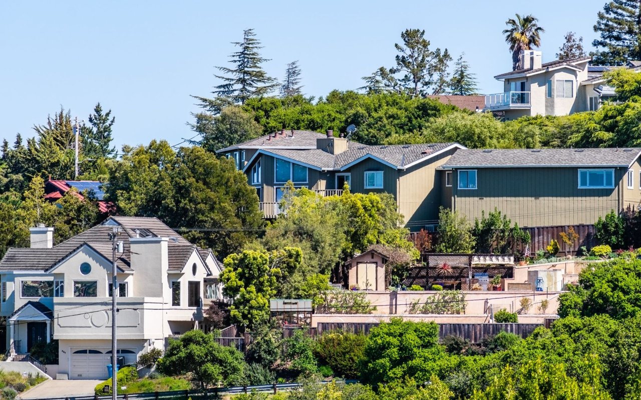
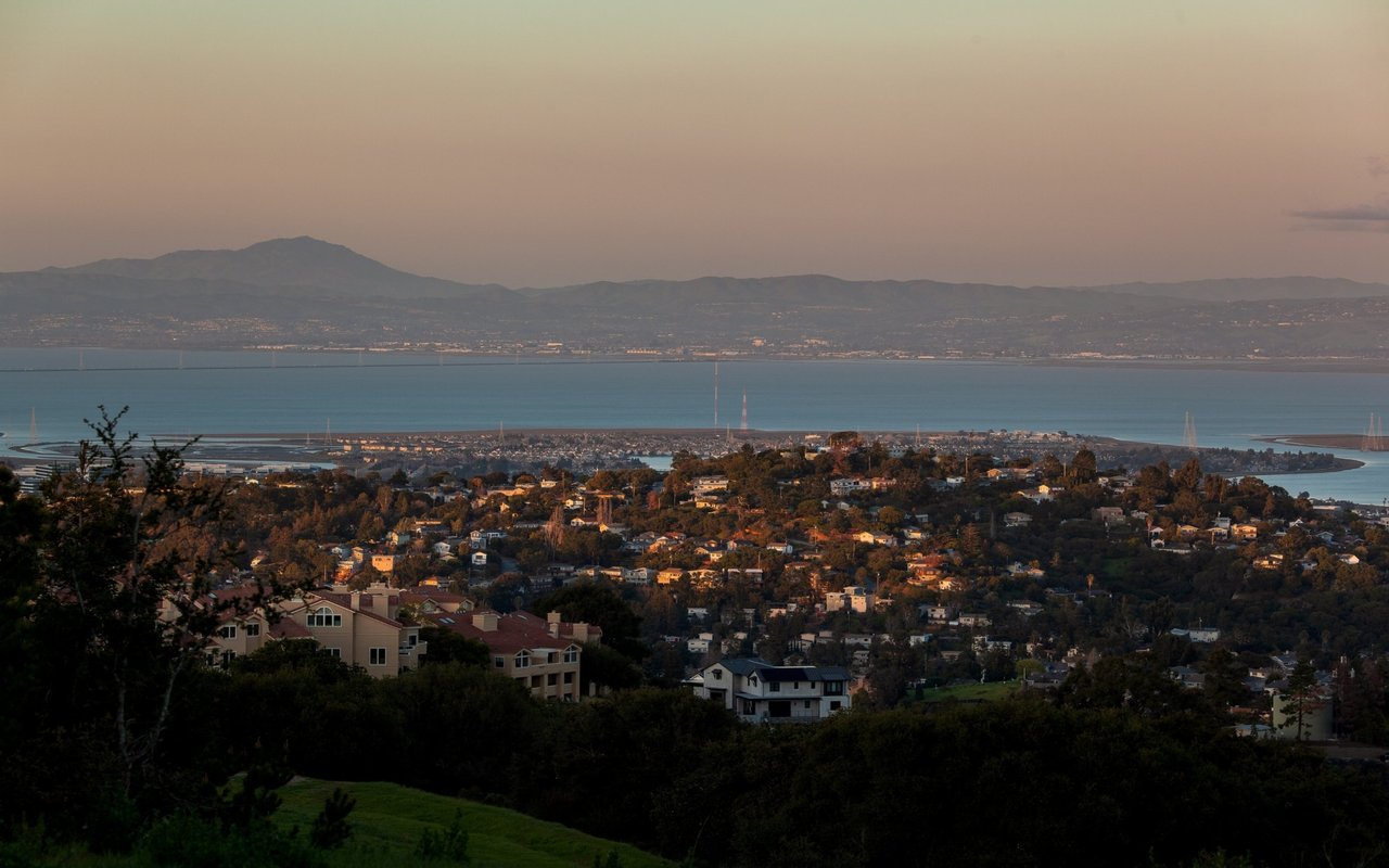
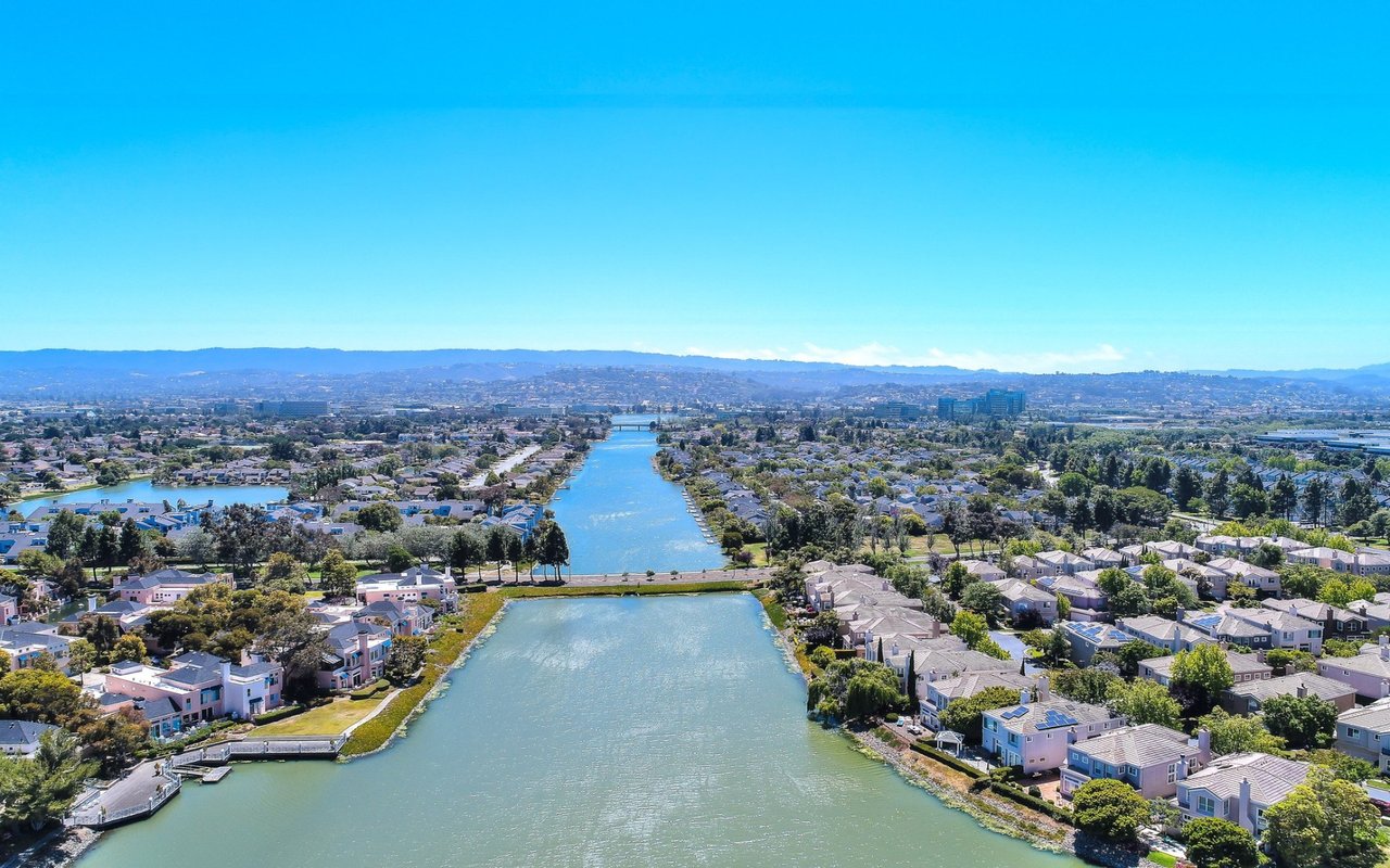
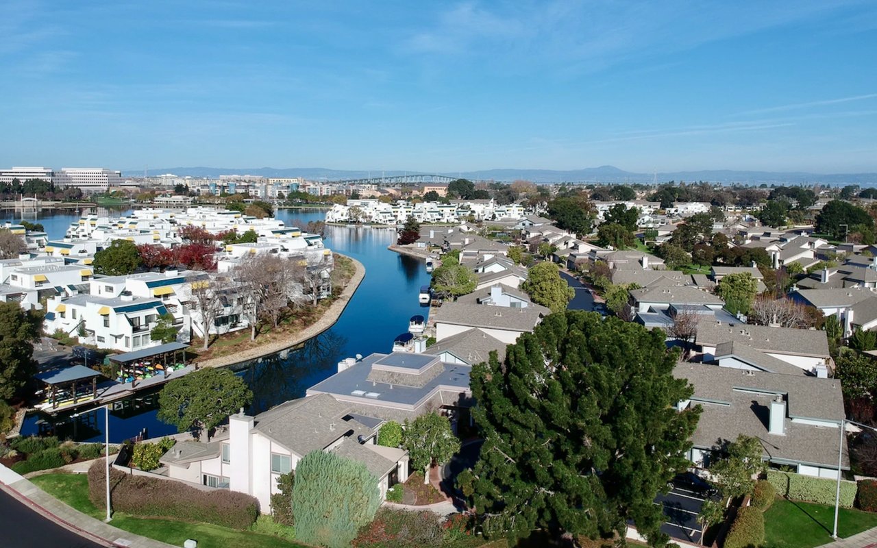
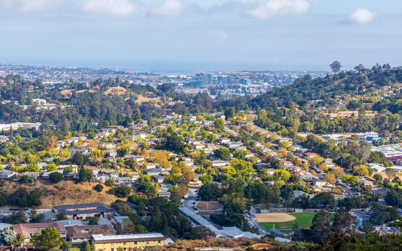
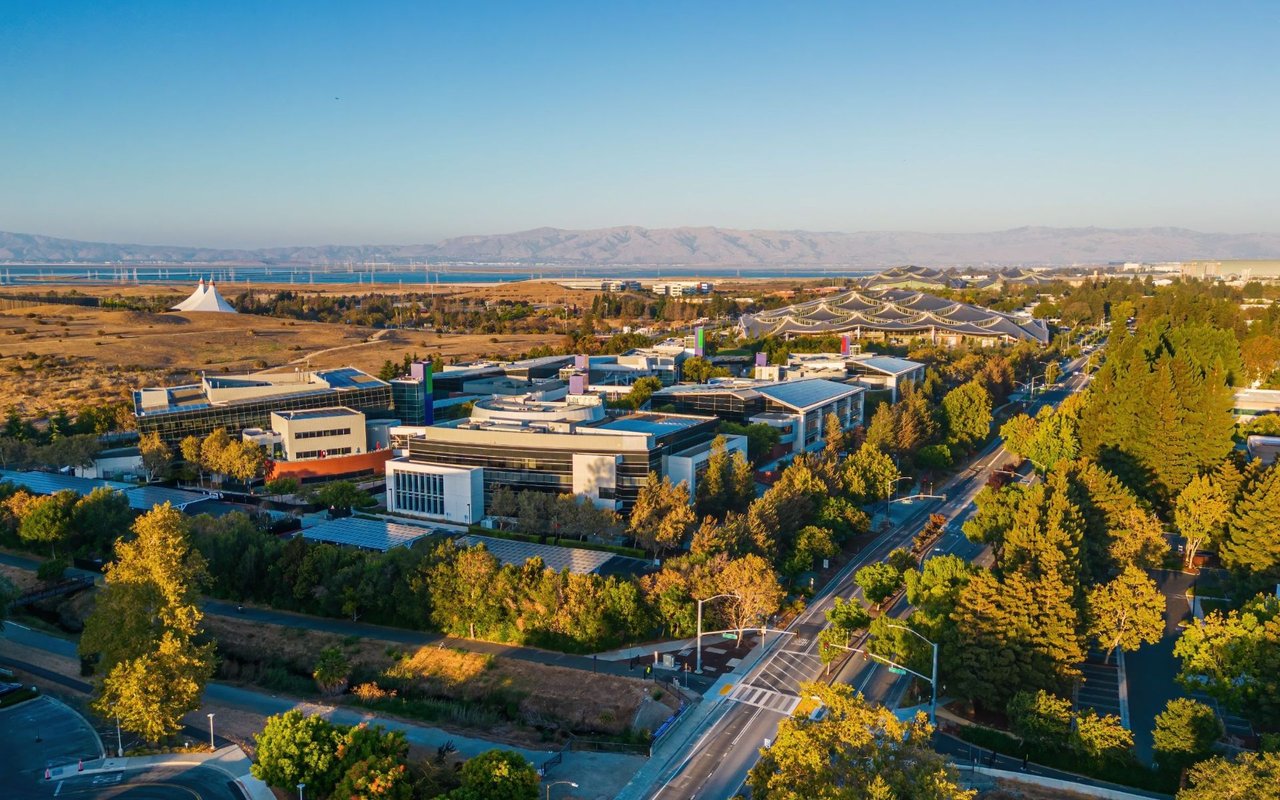
Search

Leave a Message

Thank you for your message. I will be in touch with you shortly.

Explore Properties
Background Image
Welcome to

Palo Alto

The City of Palo Alto has almost 4,000 acres of open space to explore, recreate, and relax in.

Property Listings

Search Homes
 

Welcome to Palo Alto

As one of the principal cities of Silicon Valley, Palo Alto is a vibrant University town (Stanford being one of the top Universities in the world), headquarters to a vast number of high-tech companies, and host of one of the top medical facilities in the US. The southern inland section though, located south of Interstate 280, is hilly, rural, and lightly populated. Palo Alto is one of the most popular destinations for shopping, entertainment, and fine international dining on the Peninsula. The City of Palo Alto has almost 4,000 acres of open space to explore, recreate, and relax in. The most popular are Arastradero Preserve, Elizabeth F. Gamble Garden, the public botanical garden, Palo Alto Foothills Park, and Palo Alto Baylands Nature Preserve.
 

Did You Know?

Cycling is a popular mode of transportation in Palo Alto. 9.5% of residents bicycle to work, the highest percentage of any city in the Bay Area, and third-highest in the United States.
 

Housing and Real Estate Current Market

Palo Alto, north of Oregon Expressway, is filled with older homes, including Craftsman and California Colonials, some of which date back to the 1890s but most of which were built in the first four decades of the 20th century. South of the Oregon Expressway, the homes, including many Joseph Eichler-designed or Eichler-style houses, were primarily built in the first 20 years after World War II.
 
Here’s a peak of Palo Alto’s Real Estate Market fluctuations. For a more in-depth analysis visit my Palo Alto Market Watch page. 
 
SHARE

Overview for Palo Alto, CA

68,624 people live in Palo Alto, where the median age is 41.8 and the average individual income is $105,070. Data provided by the U.S. Census Bureau.

68,624

Total Population

41.8 years

Median Age

High

Population Density Population Density
This is the number of people per square mile in a neighborhood.

$105,070

Average individual Income

Around Palo Alto, CA

There's plenty to do around Palo Alto, including shopping, dining, nightlife, parks, and more. Data provided by Walk Score and Yelp.

12
Car-Dependent
Walking Score
69
Bikeable
Bike Score
24
Minimal Transit
Transit Score

Points of Interest

Explore popular things to do in the area, including Manjiri Subhash, Yoga with Limor, and 888 Monkeys.

Name Category Distance Reviews
Ratings by Yelp
Active 3.58 miles 15 reviews 5/5 stars
Active 2.14 miles 5 reviews 5/5 stars
Active 4.21 miles 8 reviews 5/5 stars
Active 4.53 miles 14 reviews 5/5 stars
Active 3.39 miles 7 reviews 5/5 stars
Beauty 1.91 miles 22 reviews 5/5 stars

Demographics and Employment Data for Palo Alto, CA

Population Households Employment

Palo Alto has 26,007 households, with an average household size of 2.62. Data provided by the U.S. Census Bureau. Here’s what the people living in Palo Alto do for work — and how long it takes them to get there. Data provided by the U.S. Census Bureau. 68,624 people call Palo Alto home. The population density is 2,853.26 and the largest age group is Data provided by the U.S. Census Bureau.

68,624

Total Population

High

Population Density Population Density This is the number of people per square mile in a neighborhood.

41.8

Median Age

48.41 / 51.59%

Men vs Women

Population by Age Group

0-9:

0-9 Years

10-17:

10-17 Years

18-24:

18-24 Years

25-64:

25-64 Years

65-74:

65-74 Years

75+:

75+ Years

Education Level

  • Less Than 9th Grade
  • High School Degree
  • Associate Degree
  • Bachelor Degree
  • Graduate Degree
26,007

Total Households

2.62

Average Household Size

$105,070

Average individual Income

Households with Children

With Children:

Without Children:

Marital Status

Married
Single
Divorced
Separated

Blue vs White Collar Workers

Blue Collar:

White Collar:

Commute Time

0 to 14 Minutes
15 to 29 Minutes
30 to 59 Minutes
60+ Minutes

Schools in Palo Alto, CA

All ()
Primary Schools ()
Middle Schools ()
High Schools ()
Mixed Schools ()
The following schools are within or nearby Palo Alto. The rating and statistics can serve as a starting point to make baseline comparisons on the right schools for your family. Data provided by the U.S. Census Bureau.
Type
Name
Category
Grades
School rating

Explore Other

Neighborhoods

  • Palo Alto
  • Los Altos Hills
  • Los Altos
  • Redwood City
  • San Carlos
  • Menlo Park
  • Atherton
  • Hillsborough
  • Burlingame
  • Portola Valley
  • Woodside
  • San Mateo
  • Redwood Shores
  • Foster City
  • Belmont
  • Mountain View
  • Sunnyvale
  • Millbrae
  • Half Moon Bay
  • Pacifica
  • San Bruno
  • South San Francisco
  • Palo Alto

    Explore Palo Alto

    The City of Palo Alto has almost 4,000 acres of open space to explore, recreate, and relax in.

    Read More
  • Los Altos Hills

    Explore Los Altos Hills

    People often think of Los Altos Hills as a sub-part of Los Altos, but that is not the case.

    Read More
  • Los Altos

    Explore Los Altos

    Los Altos is now an affluent residential town on the western edge of Silicon Valley.

    Read More
  • Redwood City

    Explore Redwood City

    Redwood City is known for its great climate and plenty of foothills to enjoy the great outdoors.

    Read More
  • San Carlos

    Explore San Carlos

    Known as the ‘City of Good Living, this small city offers an array of great things to see and do for the whole family.

    Read More
  • Menlo Park

    Explore Menlo Park

    Offers that small-town charm and it’s only 25 minutes away from the buzz of San Francisco.

    Read More
  • Atherton

    Explore Atherton

    An idyllic town regularly ranked as the most expensive ZIP Code in the United States.

    Read More
  • Hillsborough

    Explore Hillsborough

    Prides itself on lovely winding roads, lush landscaping, and gorgeous multi-million-dollar mansions.

    Read More
  • Burlingame

    Explore Burlingame

    Offer tree-lined streets, charming local shops, designer boutiques, and fine art galleries.

    Read More
  • Portola Valley

    Explore Portola Valley

    A small, quiet, and wealthy community nestled on the eastern slopes of the Santa Cruz Mountains.

    Read More
  • Woodside

    Explore Woodside

    One of the wealthiest small towns in the United States and the best place to live in California.

    Read More
  • San Mateo

    Explore San Mateo

    The City of San Mateo is located south of San Francisco in the Silicon Valley tech hub.

    Read More
  • Redwood Shores

    Explore Redwood Shores

    There is not much going on for restaurants, bars, and shopping but it's a great and safe place to live.

    Read More
  • Foster City

    Explore Foster City

    Foster City has a distinctive look and feel due to its unique architecture and numerous bridges crossing over its beautiful lagoons.

    Read More
  • Belmont

    Explore Belmont

    Known for its wooded hills, views of the San Francisco Bay, and stretches of open space.

    Read More
  • Mountain View

    Explore Mountain View

    Enjoying a Mediterranean climate, Mountain View has a pedestrian-friendly downtown centered on Castro Street.

    Read More
  • Sunnyvale

    Explore Sunnyvale

    Offers picnic areas, waterfront paths, boat launches, and a playground perfect for families!

    Read More
  • Millbrae

    Explore Millbrae

    37.5985° N, 122.3872° W

    Read More
  • Half Moon Bay

    Explore Half Moon Bay

    37.4636° N, 122.4286° W

    Read More
  • Pacifica

    Explore Pacifica

    37.6328° N, 122.4901° W

    Read More
  • San Bruno

    Explore San Bruno

    37.6305° N, 122.4111° W

    Read More
  • South San Francisco

    Explore South San Francisco

    37.6547° N, 122.4077° W

    Read More

Follow Us On Instagram